top of page


World Maps in Real-time
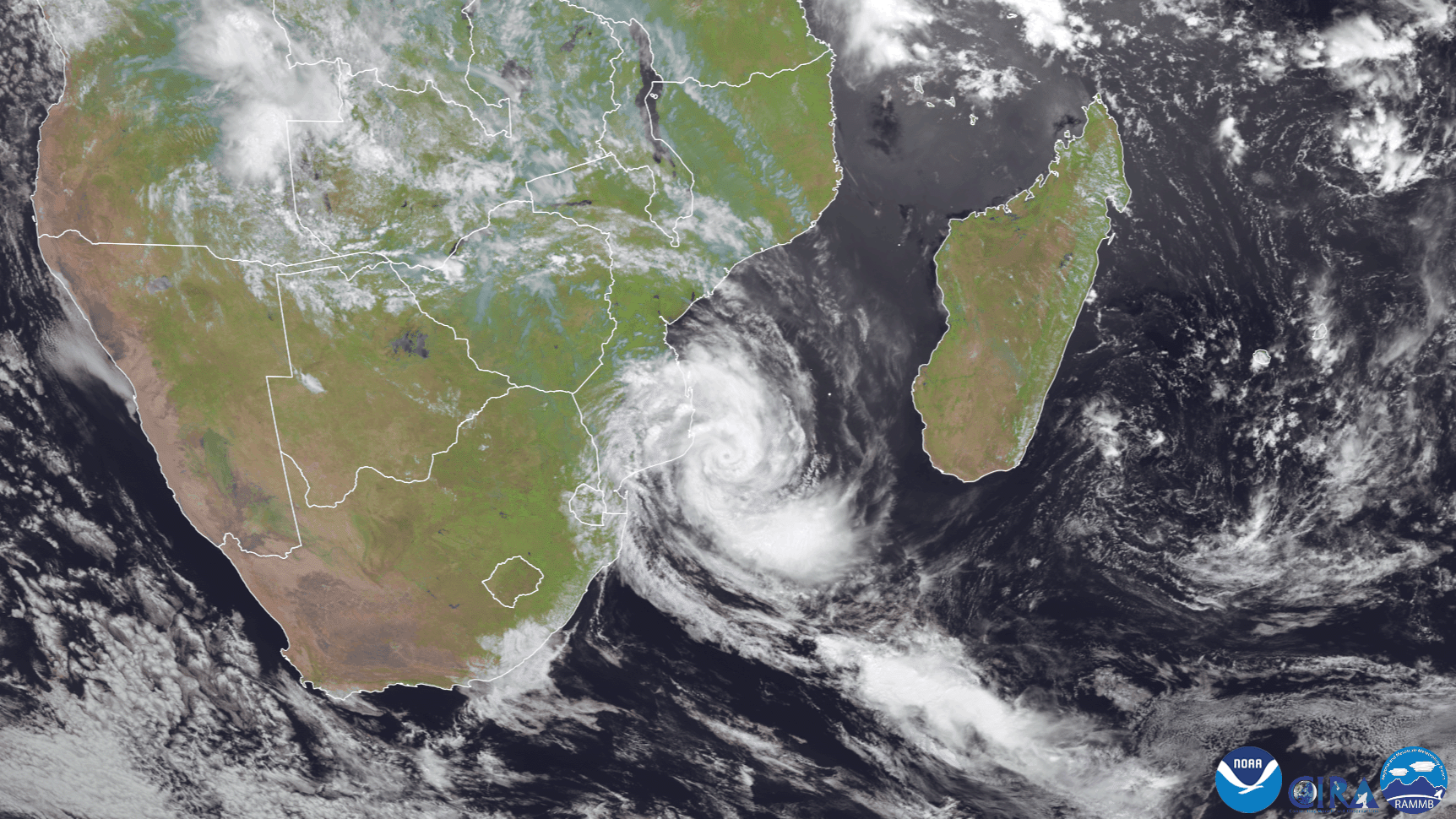
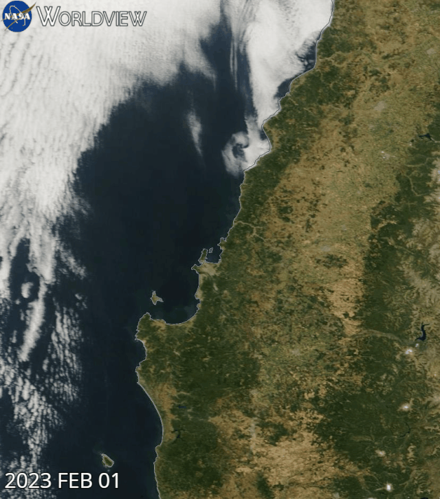
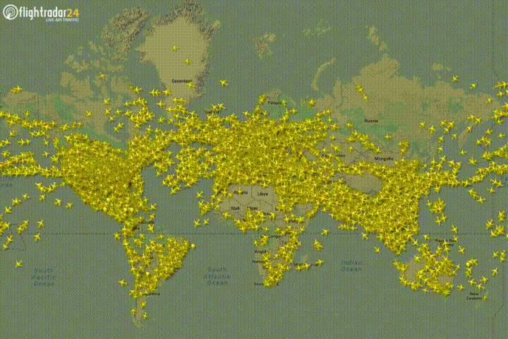
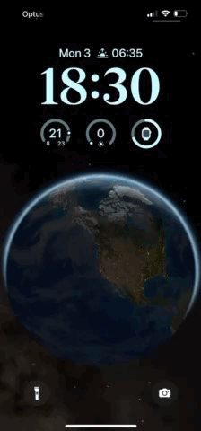
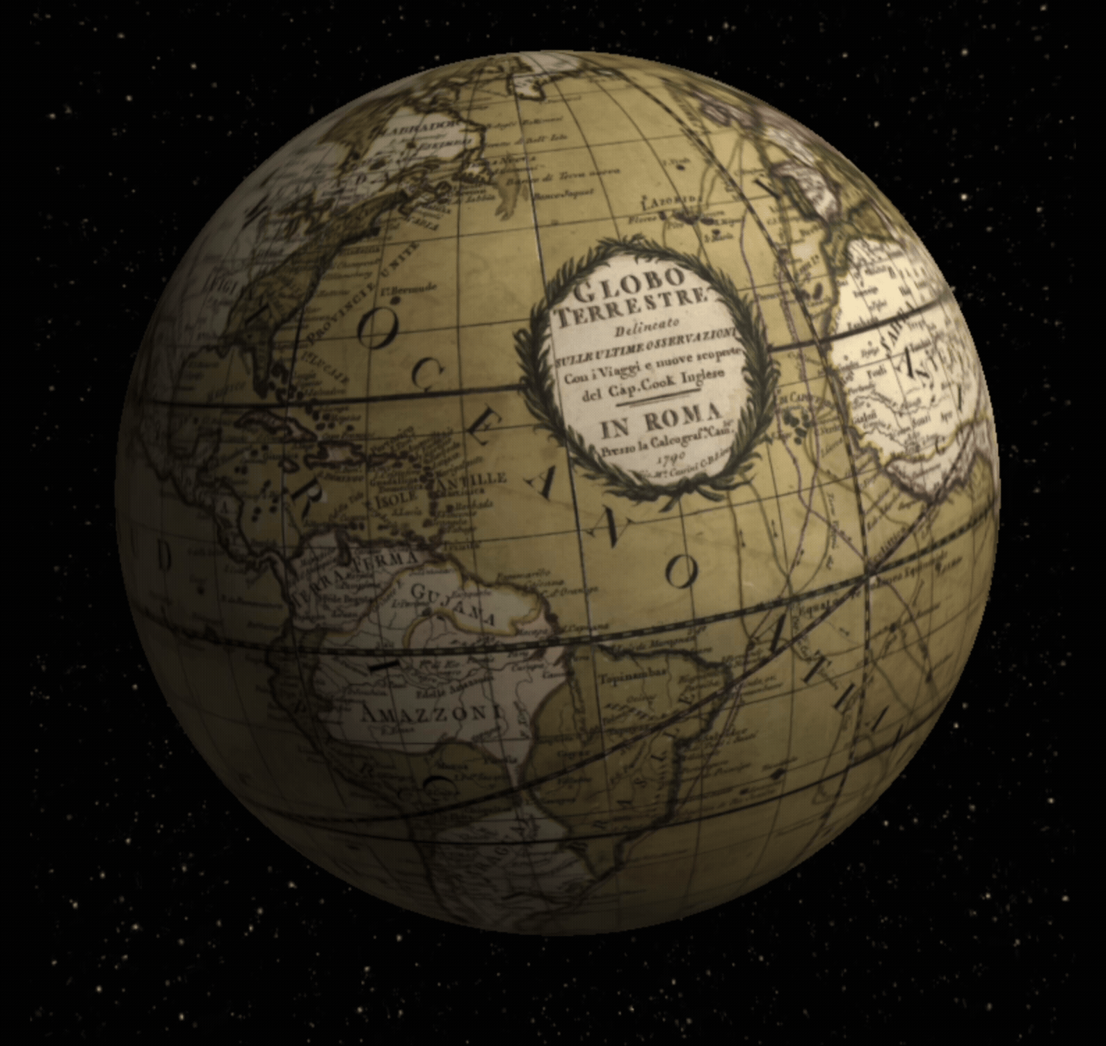
A "live earth map" typically refers to a tool that provides real-time satellite imagery or a dynamic 3D view of the Earth, allowing users to explore the planet as it appears from space or at street level. These tools often combine satellite imagery with features like street view, 3D models of buildings, and GPS navigation.


bottom of page